► Japanese
SLDEM2013 is released from the Kaguya (SELENE) data archive
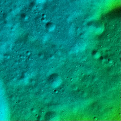
SLDEM2013 (SELENE and LRO Digital Elevation Model, version of 2013), which is the latest lunar global elevation mosaicked data from the SELENE (nicknamed KAGUYA) and the Lunar Reconnaissance Orbiter (LRO), is now available from the "Kaguya (SELENE) Data Archive".
The main source data of SLDEM2013 are from the high-resolution (10m/pixel) stereo-images of the Terrain Camera (TC) onboard SELENE and some other sources are the stereo-images from the Multi–band Imager (MI) onboard SELENE, and the laser ranging data from the Lunar Orbiter Laser Altimeter (LOLA) on-board LRO.
The elevation accuracy of SLDEM 2013 is nearly 10 meters or better. Any elevation data set for the entire of the Moon with such high accuracy has not been produced. SLDEM 2013 will be important fundamental information to plan future lunar landing and sample return missions. (2013 Mar.)